GIS & Mapping

Mapping Virtual and Physical Spaces

We work with scholars to incorporate geospatial technologies and data visualization into their research and teaching by providing:

  • Consultations
  • Access to computing resources and software
  • Classroom instruction in geospatial tools and technologies
  • Access to data collections and assistance locating relevant data
  • Long-term project partnerships 

GIS & Mapping Projects

Open World Atlanta

OpenWorld Atlanta (OWA) is an interdisciplinary, cross-institutional research project that utilizes digital tools to collect, analyze, and disseminate data about Atlanta’s history and present.

Mapping for Publications

ECDS GIS experts often assist in creating maps for web and print publications.

Georgia Coast Atlas

The Georgia Coast Atlas project is a collaborative effort that redefines the traditional atlas by leveraging digital scholarship to explore the ecological and geographic dimensions of the Georgia coast.

OpenTour Builder

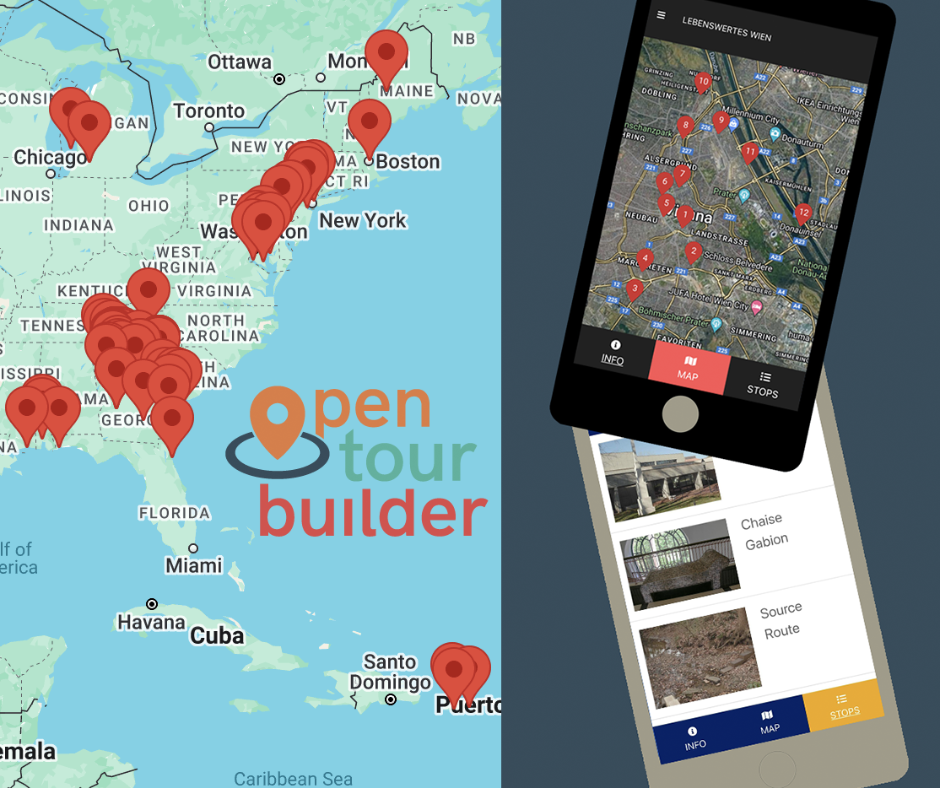
OpenTour Builder is an open-source software platform, created by ECDS, for building geospatial tours that are optimized for mobile devices. With this tool, tour builders can easily create interactive, attractive tours using their smartphone’s GPS and OpenTour Builder’s native Google Maps instructions. At each location, the designer can include images, video, audio, interactive elements, text, and external links to provide historical and cultural context, tying that information to the physical space.